Humminbird Smartstrike Map Card - Great Lakes
Humminbird Smartstrike Map Card - Great Lakes
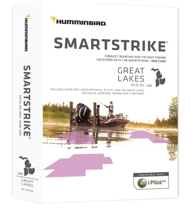
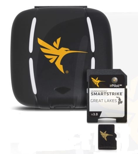
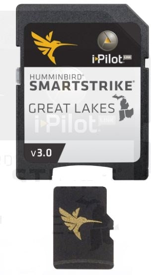
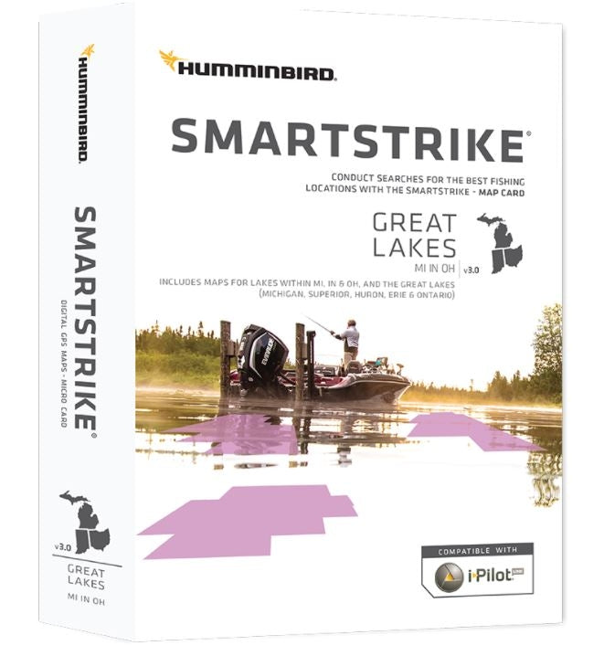
The SmartStrike Great Lakes Edition, Version 3 microSD map card has added over 140 new lakes, 50 High Definition waters to now boast contours for a total of over 1540 lakes with more than 380 lake maps in High Definition for Michigan, Indiana, and Ohio.
Featuring:
- Updated shallow water areas for Lake Michigan and parts of Lake Superior
- Full coverage of Lake Superior All of Lake Huron (now including Georgian Bay)
- Beaver Island on Lake Michigan in High Definition
- New High Definition Survey of Lake St Clair (including the Canadian side)
- Updated the St. Clair River High Definition survey (including the Canadian side)
- Updated the Detroit River High Definition survey (including the Canadian side)
- High Definition survey of Syracuse, Kosciusko in Indiana
- High Definition survey of Wamplers, Lenawee in Michigan
- High Definition survey of Portage/Torch, Houghton in Michigan
- High Definition survey of Lower Grand and Spring Lake in Michigan
With a SmartStrike card used on wide range of Humminbird models, anglers have the special capability of using the Contour Elite search functions on (and only on) any of the High Definition lake maps for that card. It's like looking into a digital crystal ball.
Humminbird SmartStrike takes you straight to the action by showing you where the fish are biting at any given moment. Based on search parameters like fish species, season, time of day, and weather conditions, the SmartStrike engine searches depth ranges, type of structure, proximity, and more to highlight areas on High Definition lake maps where your prey is most likely to be located- before you even wet a line. Build a custom search based on criteria you choose, or click any location on a lake, select Find Similar Areas, and millions of data points are searched to return other areas like it. No more guessing, fruitless searching, or wasted casts. Just fishing.
With the SmartStrike map card you enjoy all of the LakeMaster features including the following:
- i-Pilot Link compatible
- Easy to read contours
- Depth Highlight Range
- Water Level Offset
- Shallow Water Highlight
- Scrollable Lake List
Smartstrike Map Card - Great Lakes
| Qty | Out of stock |
|---|
| Size | No |
|---|---|
| Price | $199.99 |
| Stock | 0 |
| Model | SSGL2 |
| Product Name | Smartstrike Map Card - Great Lakes |
Smartstrike Map Card - Great Lakes
| Qty | Out of stock |
|---|
| Size | No |
|---|---|
| Price | $199.99 |
| Stock | 0 |
| Model | SSGL2 |
| Product Name | Smartstrike Map Card - Great Lakes |
Quantity: 0
Variations: 0
Total Price: $0.00
The SmartStrike Great Lakes Edition, Version 3 microSD map card has added over 140 new lakes, 50 High Definition waters to now boast contours for a total of over 1540 lakes with more than 380 lake maps in High Definition for Michigan, Indiana, and Ohio.
Featuring:
- Updated shallow water areas for Lake Michigan and parts of Lake Superior
- Full coverage of Lake Superior All of Lake Huron (now including Georgian Bay)
- Beaver Island on Lake Michigan in High Definition
- New High Definition Survey of Lake St Clair (including the Canadian side)
- Updated the St. Clair River High Definition survey (including the Canadian side)
- Updated the Detroit River High Definition survey (including the Canadian side)
- High Definition survey of Syracuse, Kosciusko in Indiana
- High Definition survey of Wamplers, Lenawee in Michigan
- High Definition survey of Portage/Torch, Houghton in Michigan
- High Definition survey of Lower Grand and Spring Lake in Michigan
With a SmartStrike card used on wide range of Humminbird models, anglers have the special capability of using the Contour Elite search functions on (and only on) any of the High Definition lake maps for that card. It's like looking into a digital crystal ball.
Humminbird SmartStrike takes you straight to the action by showing you where the fish are biting at any given moment. Based on search parameters like fish species, season, time of day, and weather conditions, the SmartStrike engine searches depth ranges, type of structure, proximity, and more to highlight areas on High Definition lake maps where your prey is most likely to be located- before you even wet a line. Build a custom search based on criteria you choose, or click any location on a lake, select Find Similar Areas, and millions of data points are searched to return other areas like it. No more guessing, fruitless searching, or wasted casts. Just fishing.
With the SmartStrike map card you enjoy all of the LakeMaster features including the following:
- i-Pilot Link compatible
- Easy to read contours
- Depth Highlight Range
- Water Level Offset
- Shallow Water Highlight
- Scrollable Lake List

